
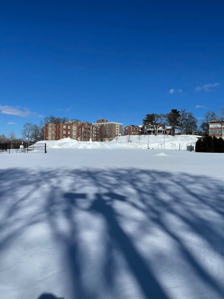
(Photo courtesy of Darius Daniels) “Snow overlooking South Campus”
Benjamin Heffner
Connector Editor
A historic Nor’easter, producing intense snow rates, powerful winds and coastal flooding hit Massachusetts late Sunday night into Monday evening, resulting in a cleanup effort that could last for several days.
Most of Massachusetts received a foot to a foot and a half of snow, with localized areas receiving upwards of two feet to two feet and a half. T.F. Green Airport in Warwick, RI recorded up to nearly 33 inches, breaking a record set by the Blizzard of ’78.
Darius Daniels, President of the American Meteorological Society Student Chapter at UMass Lowell, said, “This [storm] put us about our seasonal average by quite a bit for snowfall.”
A measurement recorded on South Campus put the storm total in Lowell at 11.7 inches with an 18-inch snow depth.
In addition, wind gusts reached between 30 to 45 miles per hour, with the Cape and Islands receiving gusts as high as 83 miles per hour. Over 250,000 residents are without power and companies such as EverSource and National Grid have said restoration efforts could take days.
Governor Maura Healey issued a State of Emergency on Sunday, calling upon all residents to stay home and avoid travel unless necessary. “This will be a severe storm that presents significant risks to public safety. We need everyone to take it seriously,” Healey said in a press conference.
A travel ban was also issued for Bristol, Plymouth, Barnstable and Dukes counties on Monday. Healey added, “While the worst of the storm is behind us and much of the state is turning to shoveling out, conditions remain severe and dangerous across Southeastern Massachusetts.
Over 350 National Guard members were deployed to aid with storm efforts.
Several school districts and universities were closed on Monday, the first day back for public schools from February vacation, with some either delayed or closed additional days on Tuesday and Wednesday.
UMass Lowell was closed on both Monday and Tuesday to allow for cleanup from the storm.
Many meteorologists compared the powerful storm to the Blizzard of ’78, in which Boston received over two feet of snow. However, Daniels said that although localized areas received similar snowfall totals, the predictability of the storm hitting Massachusetts was greater.
He added, “Even three days out, we had enough time to prepare for this event compared to the Blizzard of ’78 where they had only one forecaster who got it right within a day and people were completely stranded and had no idea because there wasn’t enough time to prepare for such a powerful storm.”
While city crews and residents continued to clear out from the storm, a clipper system moved through on Wednesday producing light snowfall, which Daniels described as “just adding insult to injury.”
However, milder temperatures over the weekend provided some much-needed melting. Daniels said, “The storm on Friday trended farther south, which meant that we saw less impacts, allowing for more sunshine and temps into the low to mid 40s for the weekend.”